Create custom elevation and topographic maps of anywhere
Pick a place, style it, and download a map ready to print, edit or 3D print.
Currently active only in the US
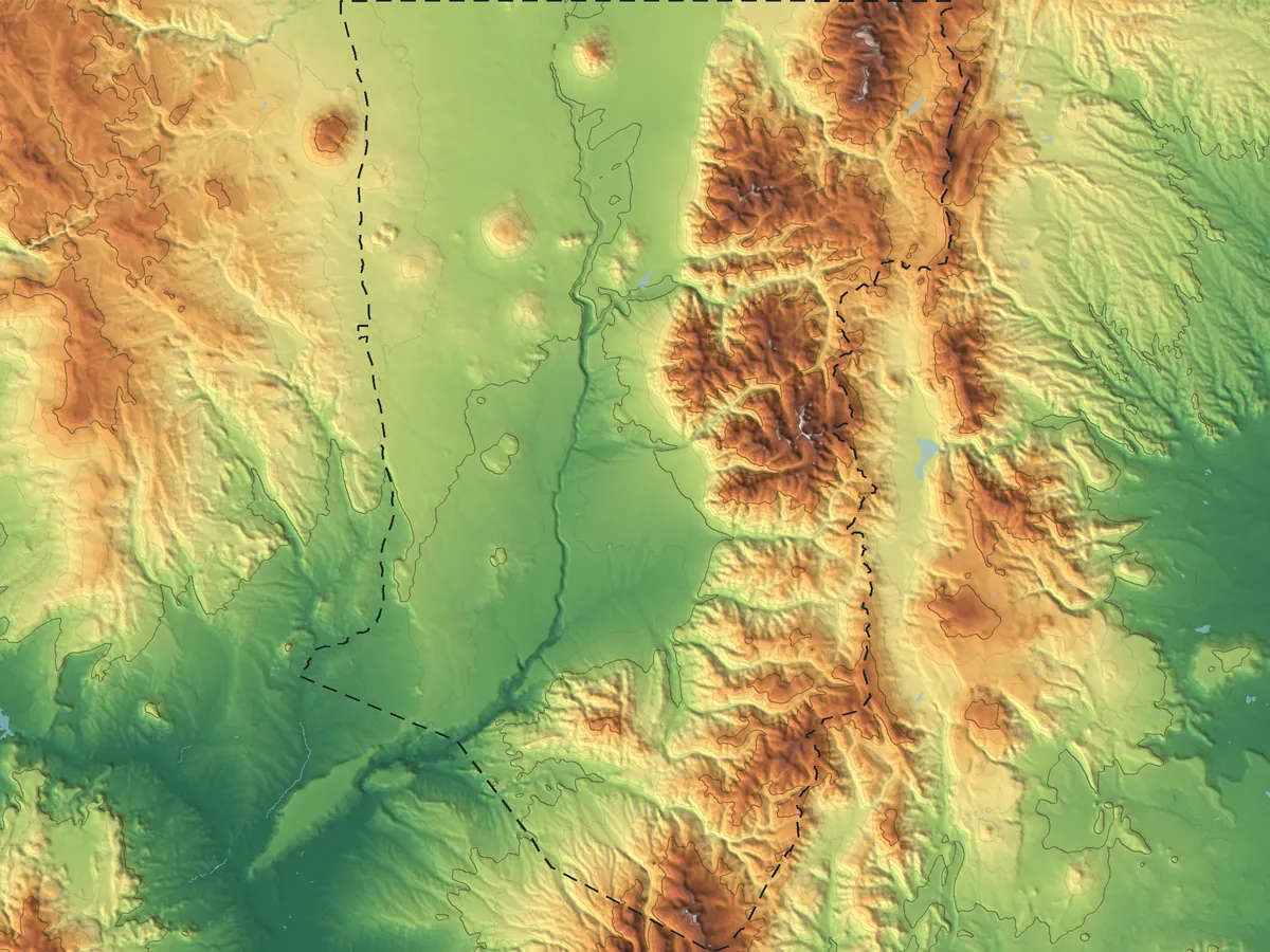
Where do you want to map?
Three steps to a print-ready map
- 01 Pick
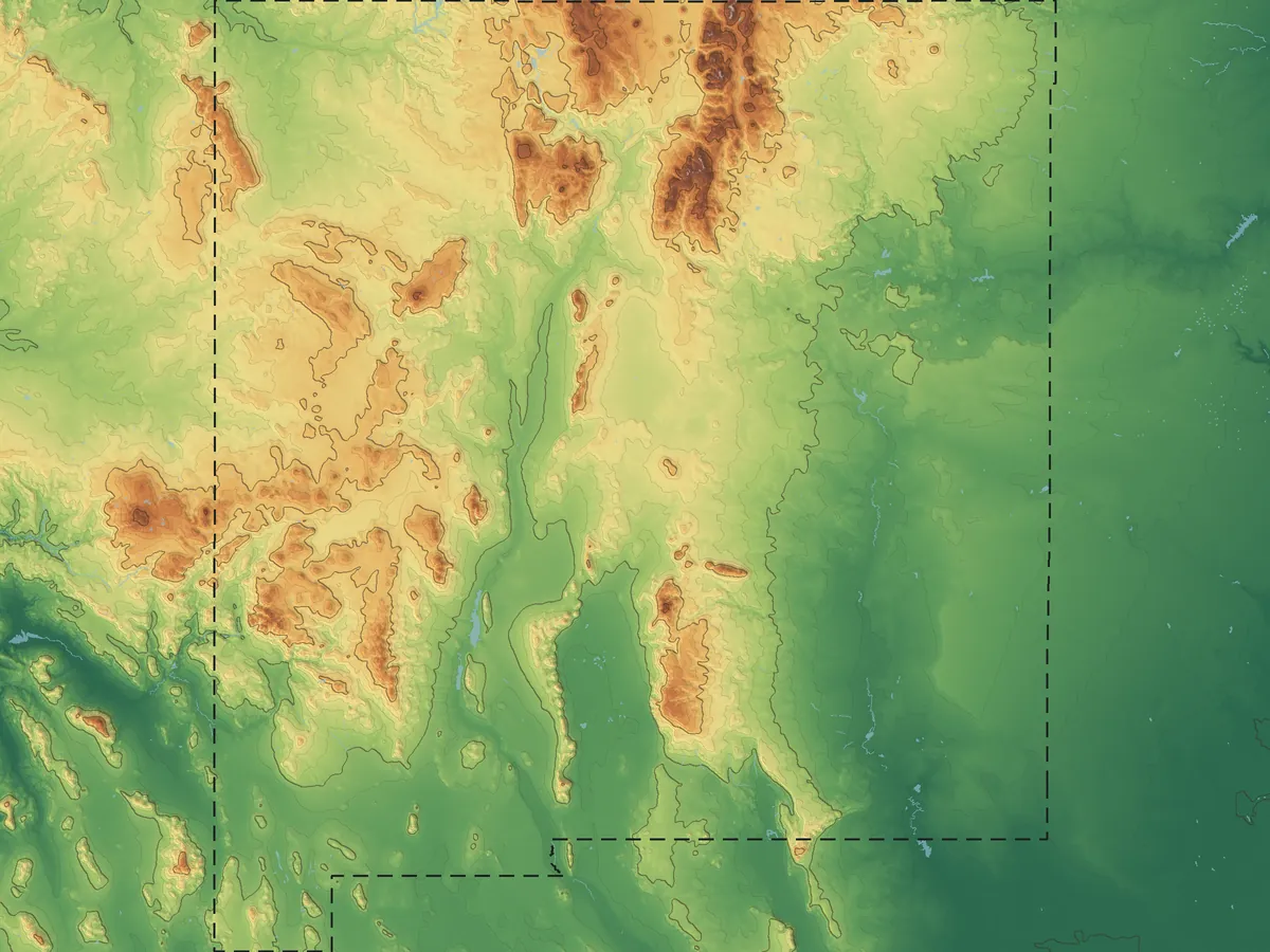
Search a place or draw a box on the map.
- 02 Style
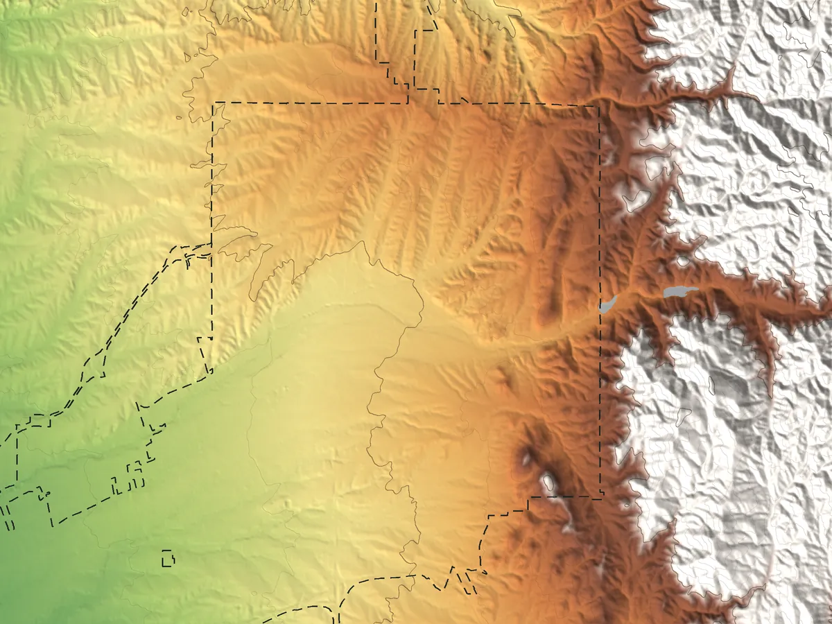
Choose colors, contours, labels and size.
- 03 Download
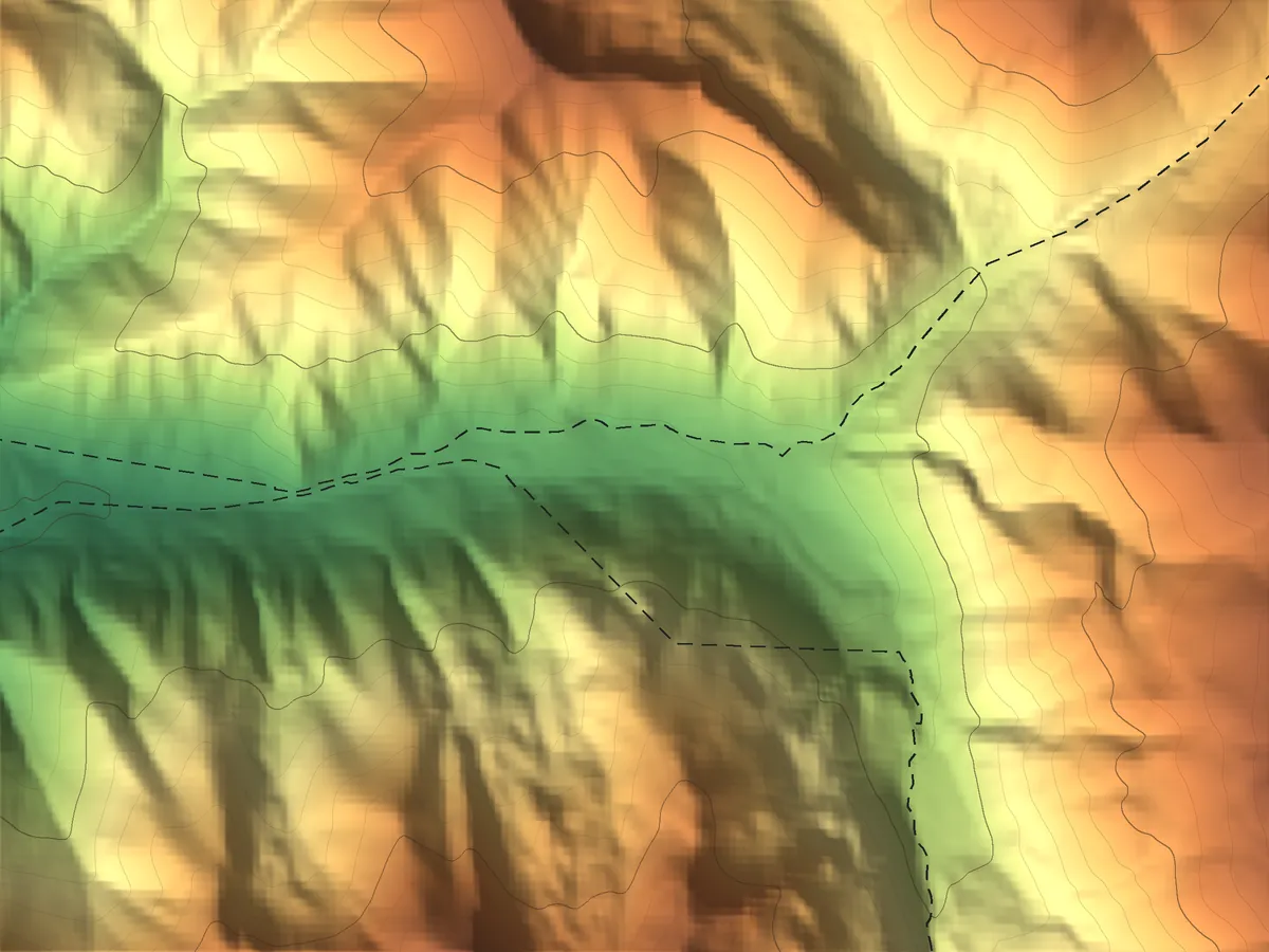 PDFSVGSTL
Print it, edit it, laser cut it or 3D print it.
Examples
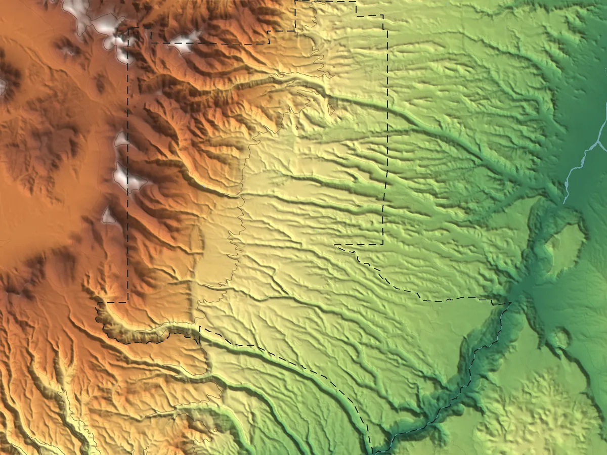
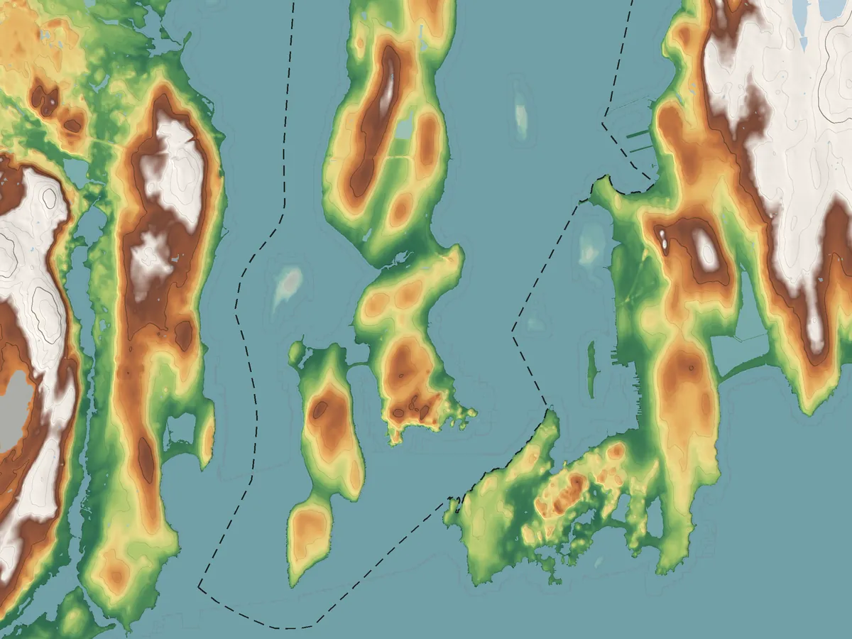
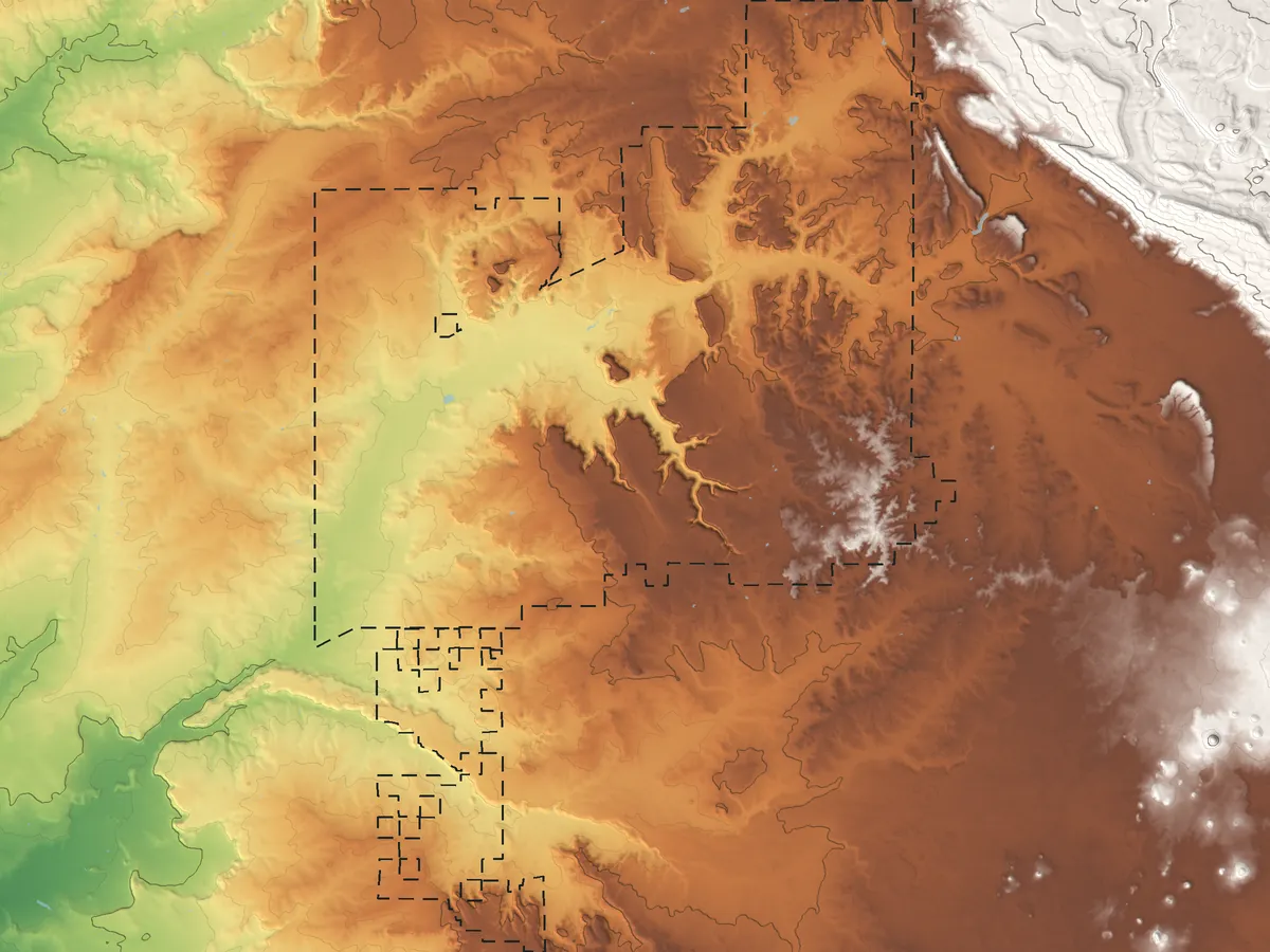
Authentic & transparent
ElevationOf is built by geographers and GIS specialists. Every map, number and reading comes from an official source, cited where it appears.
Elevation, boundaries, names and survey marks from U.S. federal agencies.
USGS 3DEPU.S. Census Bureau TIGER/LineUSGS GNISNOAA NGS
We compute values from the raw data: typical elevation, highest and lowest points, relief and contours. We follow standard practice, work at full precision and round only the final figure shown. Each page explains its method.
Each number carries its source, so it's easy to verify. When there's no data, the section is left out, never filled in. We hold ourselves to the highest standards.